
|
| Our subscribers' grade-level estimate for this page: 5th |
| -Flag of Greece -Map Quiz Printout -Map Coloring Page |
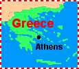
EnchantedLearning.com Greece |
Maps Flags |
Natural Resources: Greece is rich in natural resources, including fertile farmlands, minerals, and seaports.
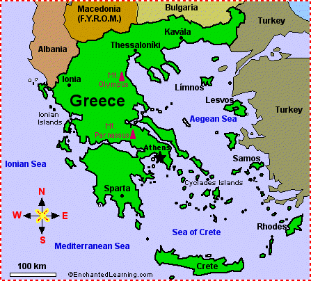
Geography: The highest point in Greece is Mount Olympus (2,917 meters high); the lowest is the Mediterranean Sea (at sea level). The total area of Greece is 131,940 square kilometers (slightly smaller than the US state of Alabama). There are 13,676 kilometers of coastline. Greece is bordered by Albania, Macedonia (The Former Yugoslav Republic of Macedonia), Bulgaria, and Turkey.
Independence: Greece gained independence from the Ottoman Empire in 1829. Greek National Independence Day is celebrated on March 25 each year.
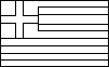
 Flag: The flag of Greece is blue and white; it was adopted in 1978.
Related Pages:
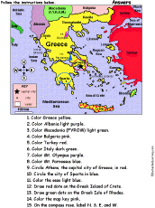 Greece: Follow the Instructions Color Greece according to simple directions, such as, "Draw a red circle around Athens, the capital city of Greece." Or go to the answers. |
Greek Flag Information on the Greek flag |
Greece: Flag Quiz/ Printout Answer questions and color the flag |
 Greek Flag Coloring Printout |
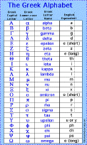 Greek Alphabet See the 24-character alphabet and read about its ancient history. |
 Greece: Map Coloring Printout Print and color the map of Greece |
 Greece: Map Quiz Printout Take a quiz on the map of Greece. Or go to the answers. |
|
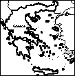 Greece: Outline Map Printout An outline map of Greece to print. |
 Europe Label the countries and bodies of water of Europe. Answers |
Europe: Label Me! Printout with First Letter Hints Label the countries and bodies of water of Europe, given the first letter of the places. Answers |
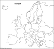 Europe: Outline Map Printout An outline map of Europe to print. |
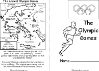 Olympics Book Printout Print a short book about the Olympics, with pages on the ancient Olympics, the Olympic flame, the Olympic flag, the Summer and Winter Games, Olympic awards, and recent Olympic locations. |
Enchanted Learning®
Over 35,000 Web Pages
Sample Pages for Prospective Subscribers, or click below
|
Overview of Site What's New Enchanted Learning Home Monthly Activity Calendar Books to Print Site Index K-3 Crafts K-3 Themes Little Explorers Picture dictionary PreK/K Activities Rebus Rhymes Stories Writing Cloze Activities Essay Topics Newspaper Writing Activities Parts of Speech Fiction The Test of Time
|
Biology Animal Printouts Biology Label Printouts Biomes Birds Butterflies Dinosaurs Food Chain Human Anatomy Mammals Plants Rainforests Sharks Whales Physical Sciences: K-12 Astronomy The Earth Geology Hurricanes Landforms Oceans Tsunami Volcano |
Languages Dutch French German Italian Japanese (Romaji) Portuguese Spanish Swedish Geography/History Explorers Flags Geography Inventors US History Other Topics Art and Artists Calendars College Finder Crafts Graphic Organizers Label Me! Printouts Math Music Word Wheels |
Click to read our Privacy Policy
| Search the Enchanted Learning website for: |