Geography & Graphic Organizers
Add Filters
Add Filters
Subjects
Geography
Bodies of Water
(1)
Flags
(0)
Landforms
(0)
Maps
(52)
Africa
(3)
Antarctica
(0)
Arctic
(0)
Asia
(4)
Europe
(3)
North America
(330)
South America
(4)
Page Types
Graphic Organizers
Grade Levels
Work in Progress - Not all pages are categorized yet
Preschool
(0)
Kindergarten
(0)
1st Grade
(16)
2nd Grade
(88)
3rd Grade
(118)
4th Grade
(110)
5th Grade
(69)
6th Grade
(24)
7th Grade and Up
(4)
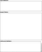
Paragraph Structure Graphic Organizer Printouts: Topic sentence, support details, conclusion sentence.

Y-Chart, Graphic Organizer Printouts.
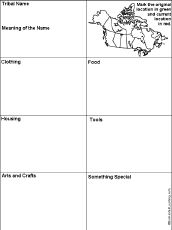
Native American Graphic Organizers with Maps (Printable Worksheets).
Many Ways to Make a Number: Math Graphic Organizer Printouts.
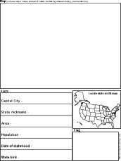
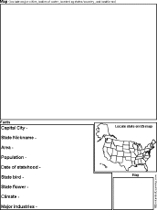
US State Report Diagram Printout: Thiss chart is used to write a short US state report, including a hand-drawn map and...
★
Full access for members only.
US State Report Diagram Printout: Thiss chart is used to write a short US state report, including a hand-drawn map and...
★
Full access for members only.
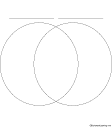
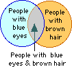
Math Venn Diagram Graphic Organizer Printouts.
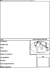
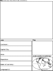
Country Report Diagram Printout: Thiss chart is used to write a short country report, including a hand-drawn map and flag...
★
Full access for members only.
Country Report Diagram Printout: Thiss chart is used to write a short country report, including a hand-drawn map and flag...
★
Full access for members only.
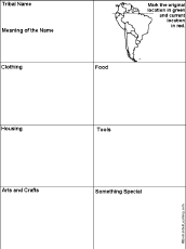
South American Native Americans Printable Graphic Organizer Worksheet with Map: A graphic organizer to organize material fr...
★
Full access for members only.
| Previous Page | Page 2 of 36 | Next Page |