North America & Printouts
Add Filters
Add Filters
Page Types
Printouts
Awards
(9)
Bookmarks
(7)
Books
(1000+)
Gift Tags
(12)
Graphic Organizers
(330)
Name Tags
(84)
Word Wheels
(90)
Grade Levels
Work in Progress - Not all pages are categorized yet
Preschool
(38)
Kindergarten
(411)
1st Grade
(878)
2nd Grade
(918)
3rd Grade
(786)
4th Grade
(606)
5th Grade
(260)
6th Grade
(76)
7th Grade and Up
(17)
Quiz on North American Flags (Printout) - Match the flag to the country, then color it.
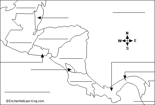
Label Central America Printout.
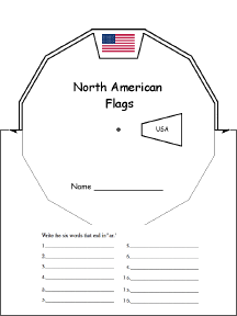
North American Flags Wheel : This 2-page print-out makes a North American Flags wheel; it consists of a base page...
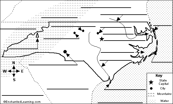
Label North Carolina State Map Printout.
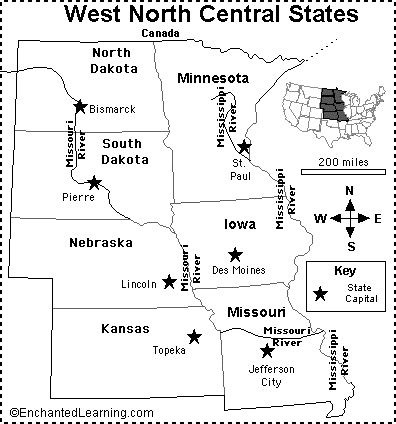
West North Central States Map/Quiz Printout.
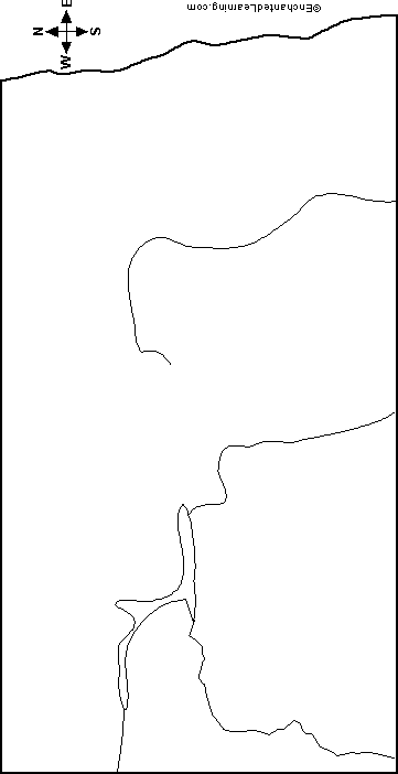
Outline Map North Dakota, USA: A collection of geography pages, printouts, and activities for students.
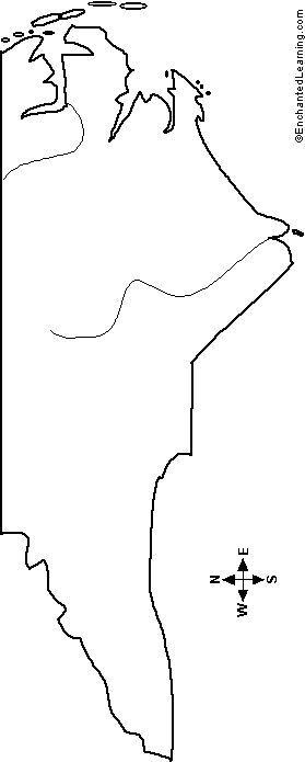
Outline Map North Carolina, USA: A collection of geography pages, printouts, and activities for students.

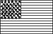
USA and State Flag/Quiz Printouts.
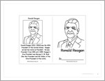
This is a short, printable activity book about Ronald Reagan, the 40th President of the USA, for fluent readers.
★
Full access for members only.
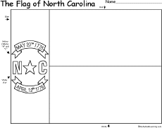
Flag of North Carolina: Color the flag of North Carolina.
★
Full access for members only.
| Previous Page | Page 2 of 360 | Next Page |