Advertisement.

EnchantedLearning.com is a user-supported site.
As a bonus, site members have access to a banner-ad-free version of the site, with print-friendly pages.
Click here to learn more.

ad
(Already a member? Click here.)


Our subscribers' grade-level estimate for this page: 4th - 5th
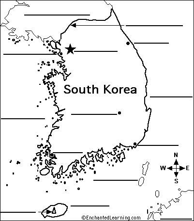
Answers
EnchantedLearning.com
Label the Map of South Korea
South Korea's Flag
Read the definitions below, then label the map of South Korea.
Label the Map of South Korea

Cheju-do - a large island off the southern coast of South Korea.
Demarcation Line - a line that separates North and South Korea.
Halla-san - The volcanic mountain that is the highest point in South Korea; it is located on the island of Cheju-do.
Inchon - a coastal city in northwestern South Korea; it is west of Seoul.
Japan - a country east and southeast of South Korea across the Sea of Japan and the Korea Strait.
Kangnung - a coastal city in northeastern South Korea.
Korea Strait - a body of water off southeastern South Korea that separates South Korea from the southernmost islands of Japan.
Mokp'o - a coastal city in southwestern South Korea.
North Korea - a country north of South Korea.
Pusan - a coastal city in southeastern South Korea.
Sea of Japan - the large body of water off eastern South Korea.
Seoul - the capital city of South Korea.
Taegu - an inland city in central South Korea; it is southeast of Seoul and northwest of Pusan.
Yellow Sea - the large body of water off western South Korea.


Enchanted Learning Search

Search the Enchanted Learning website for:


Advertisement.

Advertisement.


Copyright ©2002-2018 EnchantedLearning.com ------ How to cite a web page