Geography & Teacher Resources
Add Filters
Add Filters
Subjects
Geography
Bodies of Water
(1)
Flags
(0)
Landforms
(0)
Maps
(52)
Africa
(3)
Antarctica
(0)
Arctic
(0)
Asia
(4)
Europe
(3)
North America
(343)
South America
(4)
Page Types
Teacher Resources
Grade Levels
Work in Progress - Not all pages are categorized yet
Preschool
(0)
Kindergarten
(1)
1st Grade
(17)
2nd Grade
(89)
3rd Grade
(124)
4th Grade
(117)
5th Grade
(74)
6th Grade
(26)
7th Grade and Up
(4)
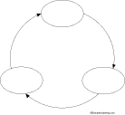
Cause and Effect Diagram: 3 circles, clockwise
★
Full access for members only.
T-chart (blank)
★
Full access for members only.

Retangular Y-Chart (blank)
★
Full access for members only.
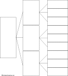
Tree Diagram Circles: 3 levels, 3 options each, horizontal orientation
★
Full access for members only.
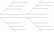
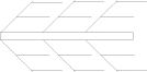
Fishbone Map Diagram Printout: Four arms, three levels of detail on each. Print and fill out this fishbone map.
★
Full access for members only.
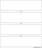
4-Link Chain Diagram: 4 squares, vertical orientation
★
Full access for members only.
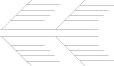
Fishbone Map Diagram Printout: Six arms, three levels of detail on each. Print and fill out this fishbone map.
★
Full access for members only.
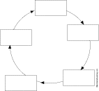
Cycle Diagram: 5 squares, clockwise
★
Full access for members only.

PMI Chart
★
Full access for members only.
Fishbone Map Diagram Printout: Four arms, four levels of detail on each. Print and fill out this fishbone map.
★
Full access for members only.
| Previous Page | Page 5 of 37 | Next Page |