USA & 4th Grade
Add Filters
Add Filters
Subjects
USA
Page Types
Activities & Fun
(278)
Crafts
(52)
Printouts
(596)
Quizzes
(352)
References & Studying
(243)
Teacher Resources
(109)
Worksheets
(331)
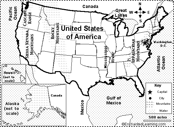
An outline map of the contiguous USA with rivers marked - state boundaries also marked (printable).
USA Regional Map/Quiz Printouts.

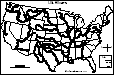
Outline Map of the US States (numbered). An outline of the US with state borders.
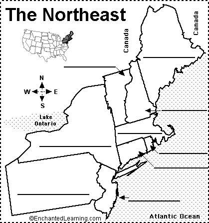
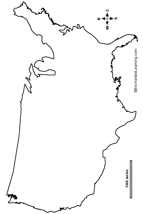
Label Northeastern US States Printout.
A list of the US States and their area in square miles, in ranked order. See which states are the largest and which are the...
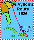
Explorers of North America

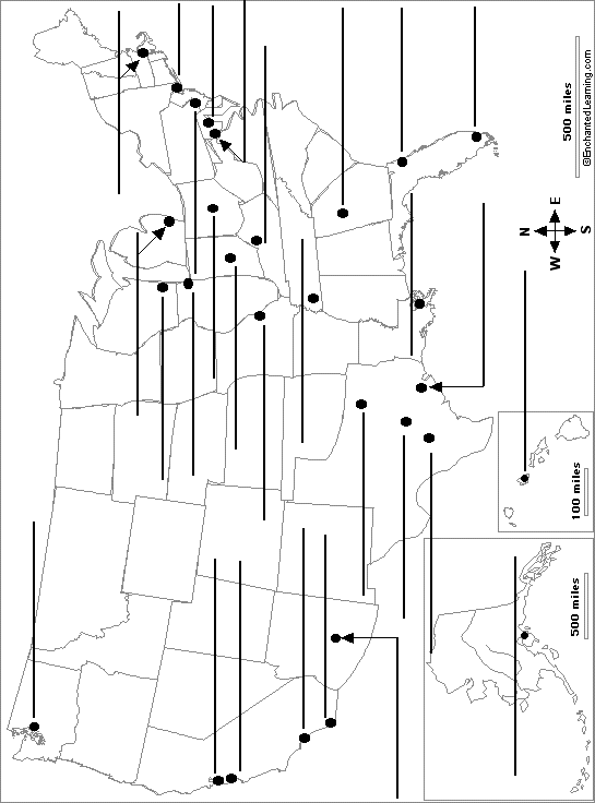
USA Latitude and Longitude Activity: Printout #2.
Outline Map of the USA. An outline of the US without state borders.
| Previous Page | Page 3 of 165 | Next Page |