Maps & Printouts & 6th Grade
Add Filters
Add Filters
Activity for World Latitude and Longitude Outline Map (cylindrical projection). A collection of geography pages, printouts...
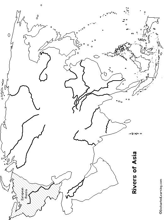
Outline Map - Rivers of Asia: A collection of geography pages, printouts, and activities for students.

Outline Map of England. A collection of geography pages, printouts, and activities for students.
★
Full access for members only.
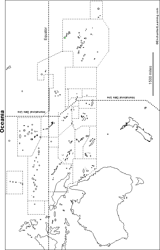
Outline Map Oceania: A collection of geography pages, printouts, and activities for students.
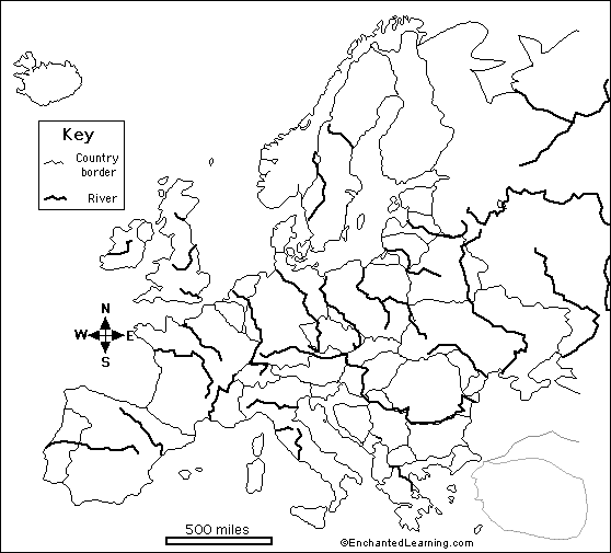
Outline Map European Rivers: A collection of geography pages, printouts, and activities for students.
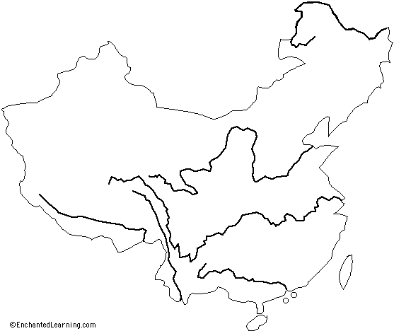
Outline Map - Rivers of China: A collection of geography pages, printouts, and activities for students.
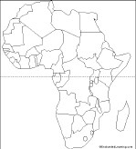
Outline Map Africa with Countries: A collection of geography pages, printouts, and activities for students.
★
Full access for members only.
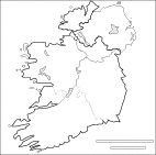
Outline Map of the Republic of Ireland. A collection of geography pages, printouts, and activities for students.
★
Full access for members only.
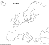
Outline Map Europe (No Country Boundaries): A collection of geography pages, printouts, and activities for students.
★
Full access for members only.
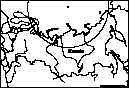
Outline Map: Russia (horizontal orientation): A collection of geography pages, printouts, and activities for students.
★
Full access for members only.
| Previous Page | Page 2 of 5 | Next Page |