Maps & Printouts & 6th Grade
Add Filters
Add Filters
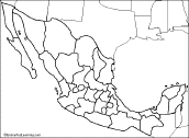
Outline Map of Mexican States: A collection of geography pages, printouts, and activities for students.
★
Full access for members only.

Outline Map Rivers of North America: A collection of geography pages, printouts, and activities for students.

World Latitude and Longitude Outline Map (cylindrical projection). A collection of geography pages, printouts, and...
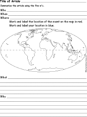
World Map Chart Printout: 5 W's labeled sections around a main oval, labeled, Who, When, What, Where, and Why.
★
Full access for members only.

Fishbone Map Diagram Printout: Six arms, four levels of detail on each. Print and fill out this fishbone map.
★
Full access for members only.
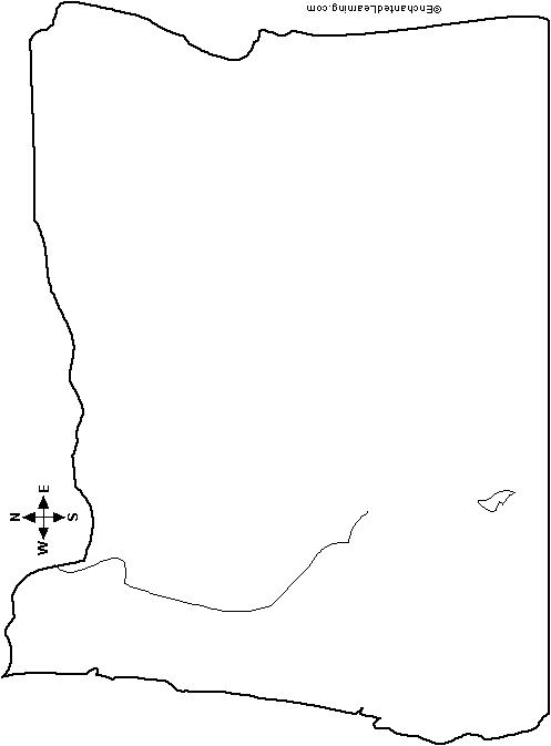
Outline Map Pennsylvania, USA: A collection of geography pages, printouts, and activities for students.
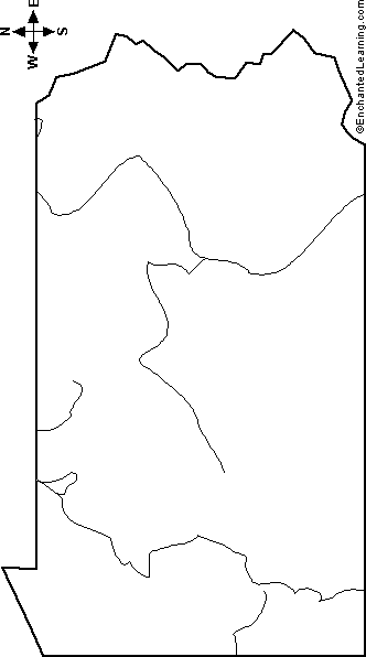
Outline Map Oregon, USA: A collection of geography pages, printouts, and activities for students.

Fishbone Diagrams - Graphic Organizer Printouts.
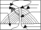
Label Ring of Fire: Continental Plates Map Printout.
★
Full access for members only.
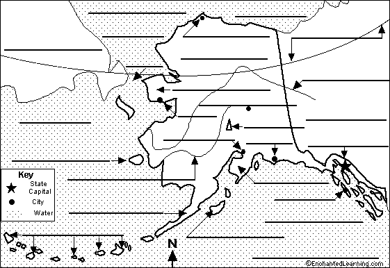
Label Alaska State Map Printout.
| Previous Page | Page 3 of 5 | Next Page |