Africa & Printouts
Add Filters
Add Filters
Subjects
Africa
Algeria
(3)
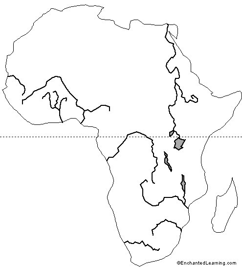
Angola
(2)
Benin
(2)
Botswana
(4)
Burkina Faso
(4)
Burundi
(3)
Cameroon
(2)
Chad
(2)
Cote d'Ivoire
(2)
Djibouti
(2)
Egypt
(4)
Eritrea
(2)
Ethiopia
(2)
Gabon
(2)
Ghana
(2)
Guinea
(7)
Kenya
(3)
Liberia
(3)
Libya
(3)
Madagascar
(4)
Malawi
(2)
Mali
(6)
Mauritania
(2)
Mauritius
(3)
Morocco
(2)
Mozambique
(1)
Namibia
(2)
Niger
(3)
Nigeria
(3)
Rwanda
(1)
Senegal
(3)
Sierra Leone
(2)
Somalia
(2)
South Africa
(7)
South Sudan
(1)
Sudan
(2)
Swaziland
(2)
Tanzania
(1)
The Gambia
(2)
Tunisia
(1)
Uganda
(1)
Western Sahara
(1)
Zambia
(1)
Zimbabwe
(1)
Page Types
Grade Levels
Work in Progress - Not all pages are categorized yet
Preschool
(0)
Kindergarten
(0)
1st Grade
(7)
2nd Grade
(18)
3rd Grade
(21)
4th Grade
(25)
5th Grade
(12)
6th Grade
(3)
7th Grade and Up
(0)
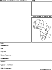
This African Country Report Diagram #1 printout includes a hand-drawn map and flag, capital city, area, population, etc.
★
Full access for members only.
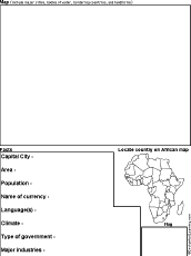
This African Country Report Diagram #2 printout includes a hand-drawn map and flag, capital city, area, population, etc.
★
Full access for members only.
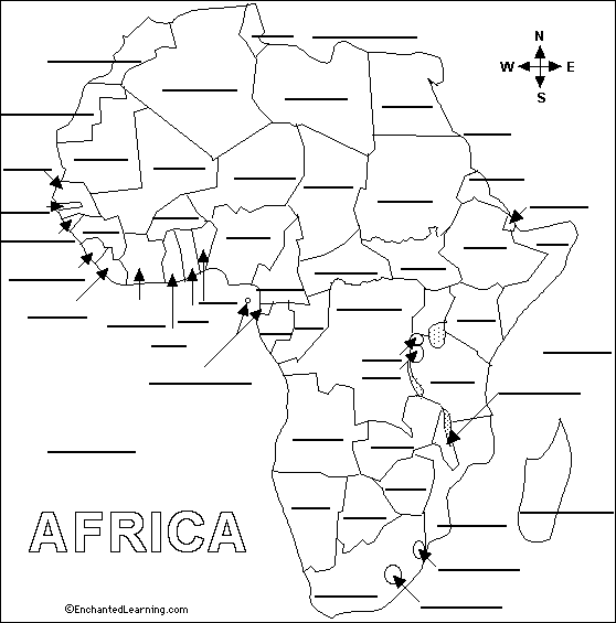
Label African Countries Printout.
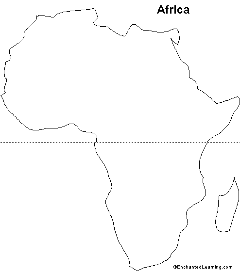
Outline Map Africa: A collection of geography pages, printouts, and activities for students.
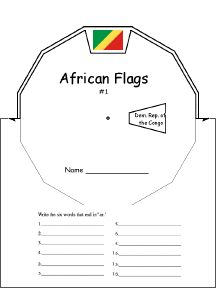
African Flags Wheel : This 2-page print-out makes an African Flags wheel; it consists of a base page together with a wheel...
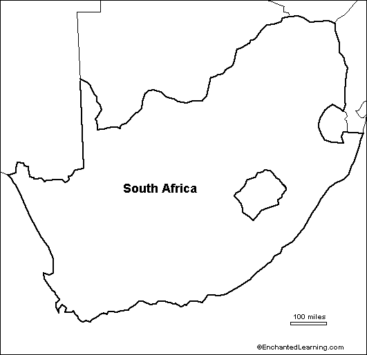
Outline Map of South Africa. A collection of geography pages, printouts, and activities for students.
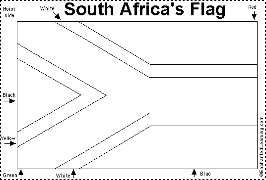
South Africa Flag Quiz/COloring Printout.

Labeled Outline Map of African Rivers: A printable map of major African rivers.
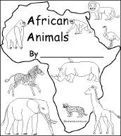
This is a short, printable book for early readers about African animals (lion, zebra, ostrich, rhino, elephant, giraffe...
★
Full access for members only.
Outline Map of African Rivers: A printable map of major African rivers.
| Page 1 of 17 | Next Page |