States & 3rd Grade
Add Filters
Add Filters
Subjects
States
Alabama
(4)
Alaska
(6)
Arizona
(2)
Arkansas
(1)
California
(7)
Colorado
(5)
Connecticut
(2)
Delaware
(5)
Florida
(5)
Georgia
(2)
Hawaii
(10)
Idaho
(4)
Illinois
(4)
Indiana
(1)
Iowa
(1)
Kansas
(3)
Kentucky
(1)
Louisiana
(4)
Maine
(4)
Maryland
(1)
Massachusetts
(3)
Michigan
(4)
Minnesota
(1)
Mississippi
(5)
Missouri
(0)
Montana
(2)
Nebraska
(5)
Nevada
(2)
New Hampshire
(1)
New Jersey
(3)
New Mexico
(2)
New York
(8)
North Carolina
(3)
North Dakota
(1)
Ohio
(4)
Oklahoma
(3)
Oregon
(0)
Pennsylvania
(2)
Rhode Island
(1)
South Carolina
(2)
South Dakota
(1)
Tennessee
(7)
Utah
(1)
Vermont
(3)
Virginia
(6)
Washington
(23)
West Virginia
(2)
Wisconsin
(2)
Wyoming
(3)
Page Types
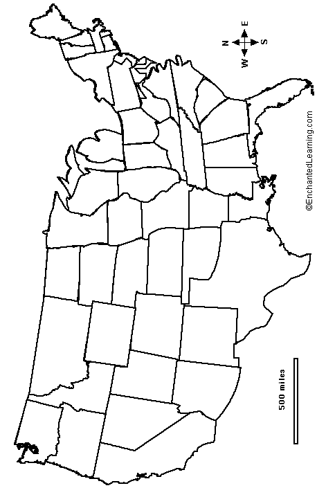
Outline Map of the Continental US States. An outline of the Continental US with state borders.
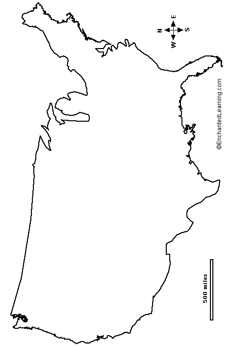
Outline Map of the USA. An outline of the US without state borders.
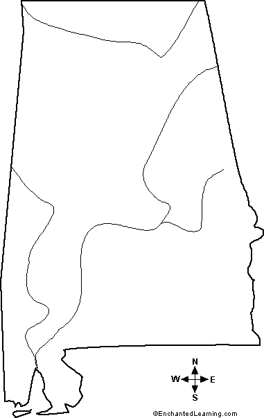
Outline Map Alabama, USA: A collection of geography pages, printouts, and activities for students.
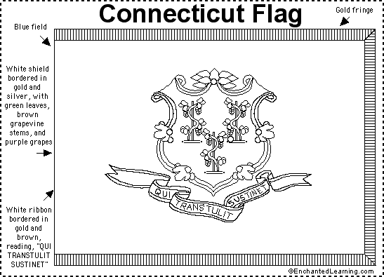
Connecticut Flag Printout.
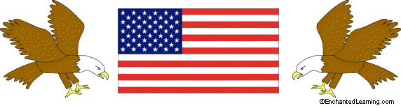
US Flag with Eagles Letterhead.
50 State Capitals Blanks (printable) -To Use with Numbered Outline Map of the USA.

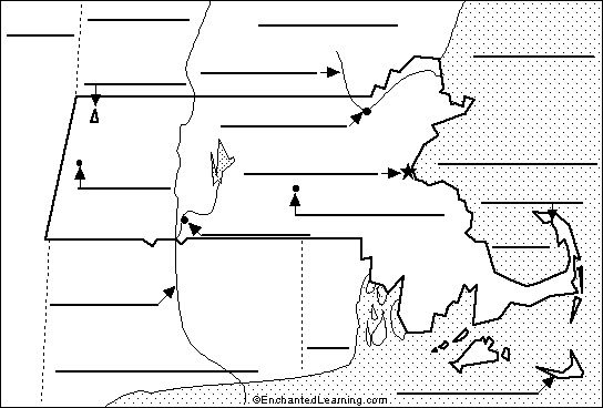
Label Massachusetts State Map Printout.
Texas State Map Definitions - printable.
Symbols of the USA: Flags, the Great Seal, the Statue of Liberty, the bald eagle, the five-pointed star, etc.
| Previous Page | Page 3 of 35 | Next Page |