States & 4th Grade
Add Filters
Add Filters
Subjects
States
Alabama
(9)
Alaska
(5)
Arizona
(5)
Arkansas
(6)
California
(11)
Colorado
(4)
Connecticut
(4)
Delaware
(7)
Florida
(5)
Georgia
(5)
Hawaii
(8)
Idaho
(9)
Illinois
(7)
Indiana
(1)
Iowa
(3)
Kansas
(5)
Kentucky
(5)
Louisiana
(8)
Maine
(7)
Maryland
(6)
Massachusetts
(4)
Michigan
(4)
Minnesota
(2)
Mississippi
(6)
Missouri
(3)
Montana
(2)
Nebraska
(5)
Nevada
(8)
New Hampshire
(2)
New Jersey
(4)
New Mexico
(4)
New York
(9)
North Carolina
(4)
North Dakota
(3)
Ohio
(1)
Oklahoma
(4)
Oregon
(3)
Pennsylvania
(4)
Rhode Island
(1)
South Carolina
(2)
South Dakota
(2)
Tennessee
(9)
Utah
(3)
Vermont
(5)
Virginia
(8)
Washington
(16)
West Virginia
(3)
Wisconsin
(4)
Wyoming
(4)
Page Types
Activities & Fun
(65)
Crafts
(2)
Printouts
(243)
Quizzes
(162)
Teacher Resources
(19)
Worksheets
(61)
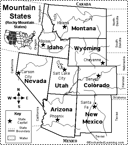
Rocky Mountain States Map/Quiz Printout.
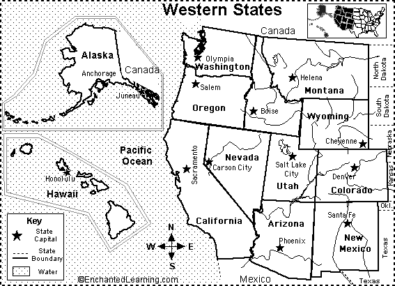
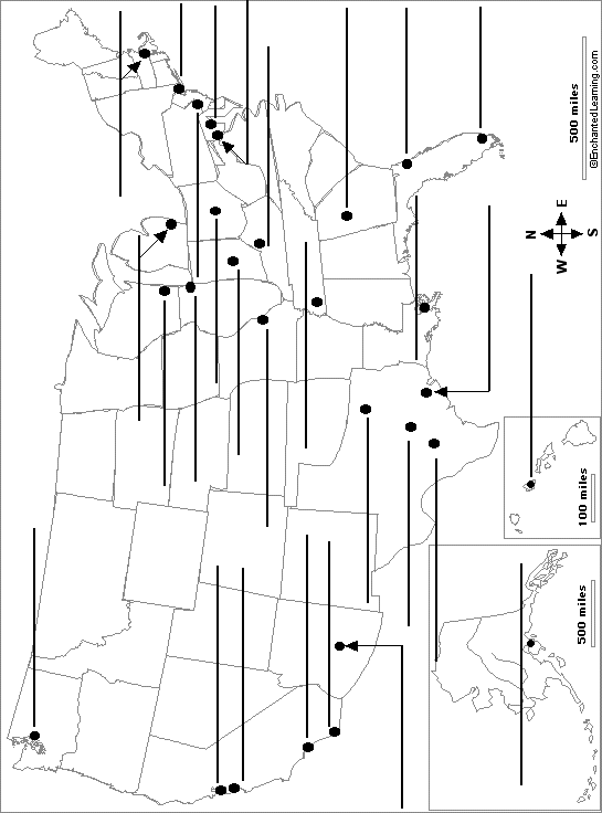
Western US States States Map/Quiz Printout.
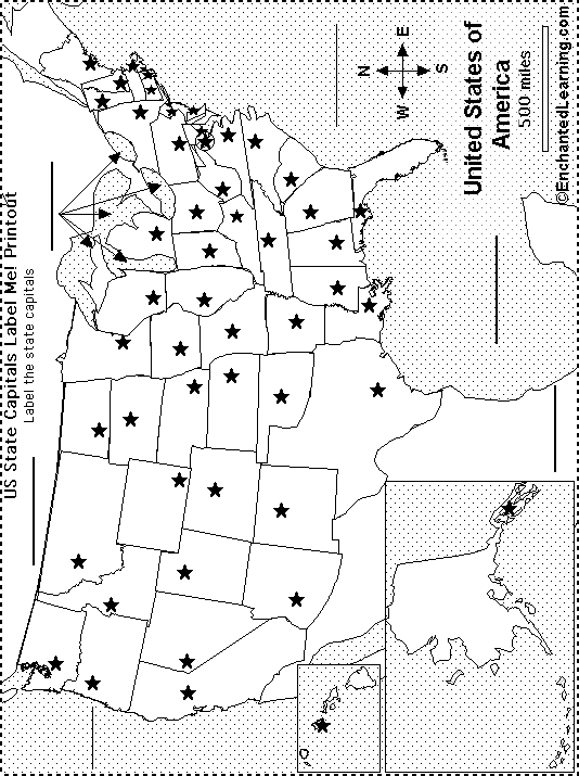
US State Capitals Label Me! Printout.
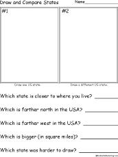
Draw and Compare Two US States: A printout about drawing and comparing items for early readers. Draw two states in the USA...
★
Full access for members only.
California State Map Definitions.
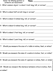
Estimating US Measurements.
★
Full access for members only.

Timeline of the US Constitution.
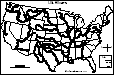
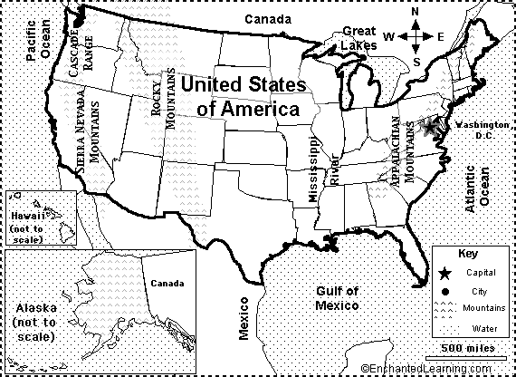
An outline map of the contiguous USA with rivers marked - state boundaries also marked (printable).
| Previous Page | Page 3 of 49 | Next Page |