North America & 6th Grade
Add Filters
Add Filters
Page Types
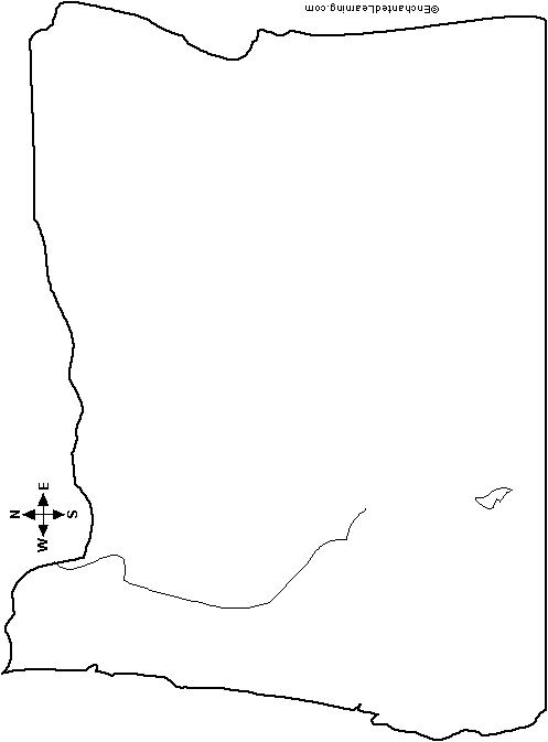
Outline Map Oregon, USA: A collection of geography pages, printouts, and activities for students.
The US States listed in order of admission, together with the dates they attained statehood.
Tennessee: Facts, Map and State Symbols.
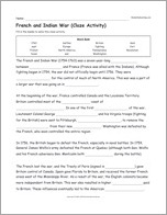
Cloze Activity: French and Indian War (printable).
★
Full access for members only.
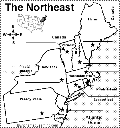
Label Northeastern US State Capitals Printout.
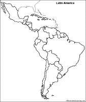
Outline Map of Latin America (country border marked): A collection of geography pages, printouts, and activities for students.
★
Full access for members only.
Make a Dichotomous Key.

Francisco Vásquez de Coronado (1510-1554) was a Spanish ruler, explorer, and conquistador.

Quiz - Timeline of the US Constitution.

South Carolina: Facts, Map and State Symbols.
| Previous Page | Page 2 of 28 | Next Page |