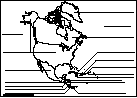
North America
Add Filters
Add Filters
Page Types
Activities & Fun
(1000+)
Crafts
(344)
Printouts
(1000+)
Quizzes
(1000+)
References & Studying
(1000+)
Teacher Resources
(343)
Worksheets
(1000+)
Grade Levels
Work in Progress - Not all pages are categorized yet
Preschool
(101)
Kindergarten
(983)
1st Grade
(1000+)
2nd Grade
(1000+)
3rd Grade
(1000+)
4th Grade
(1000+)
5th Grade
(841)
6th Grade
(285)
7th Grade and Up
(100)

Outline Map of Honduras: A collection of geography pages, printouts, and activities for students.
Samuel de Champlain (1567?-1635) was a French explorer/navigator who mapped much of northeastern North America.
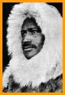
Matthew Henson (1866 - 1955) was an African-American explorer and one of the first people to visit the North Pole.
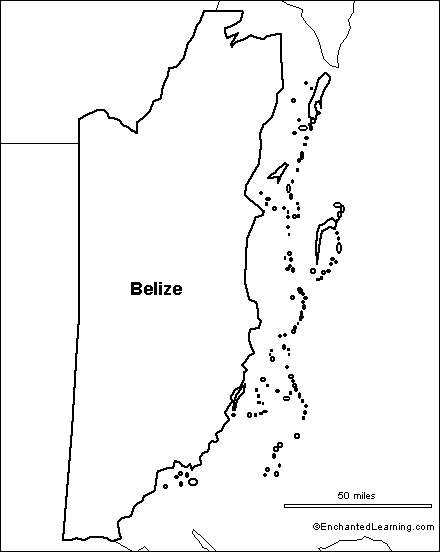
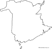
Outline Map Belize: A collection of geography pages, printouts, and activities for students.
The Flag of Jamaica. This flag was adopted on August 6, 1962.
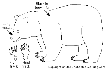
American Black Bears are large, mostly harmless bears that live in mostly in forests across North America. They are omnivores.
US States and their Capitals Printout.
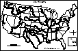
An outline map of the contiguous USA with rivers marked - state boundaries also marked (printable).
Canadian Provinces and Territories. Canada has 10 provinces and 3 territories: Alberta (Edmonton), British Columbia...
| Previous Page | Page 5 of 1000 | Next Page |