States & Printouts & 5th Grade
Add Filters
Add Filters
Subjects
States
Alabama
(3)
Alaska
(4)
Arizona
(5)
Arkansas
(1)
California
(3)
Colorado
(0)
Connecticut
(2)
Delaware
(1)
Florida
(0)
Georgia
(2)
Hawaii
(2)
Idaho
(1)
Illinois
(1)
Indiana
(0)
Iowa
(0)
Kansas
(1)
Kentucky
(0)
Louisiana
(1)
Maine
(3)
Maryland
(1)
Massachusetts
(1)
Michigan
(0)
Minnesota
(1)
Mississippi
(3)
Missouri
(0)
Montana
(0)
Nebraska
(0)
Nevada
(2)
New Hampshire
(0)
New Jersey
(0)
New Mexico
(2)
New York
(2)
North Carolina
(1)
North Dakota
(0)
Ohio
(0)
Oklahoma
(0)
Oregon
(0)
Pennsylvania
(3)
Rhode Island
(0)
South Carolina
(0)
South Dakota
(0)
Tennessee
(2)
Utah
(1)
Vermont
(1)
Virginia
(1)
Washington
(2)
West Virginia
(1)
Wisconsin
(1)
Wyoming
(0)
Page Types
Printouts
Awards
(0)
Bookmarks
(0)
Books
(0)
Gift Tags
(0)
Graphic Organizers
(13)
Name Tags
(0)
Word Wheels
(1)

USA (Contiguous) Latitude and Longitude Activity: Printout #1.
An outline map of the contiguous USA with rivers marked - state boundaries also marked (printable).
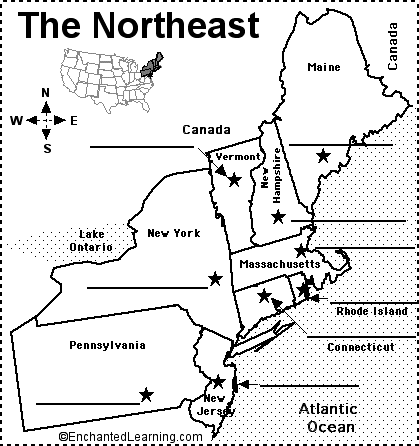
Label Northeastern US State Capitals Printout.
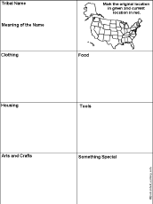
US Native Americans Printable Graphic Organizer Worksheet with Map: A graphic organizer to organize material fr a report on...
★
Full access for members only.

USA Latitude and Longitude Activity: Printout #2.
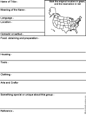
US Native Americans Printable Graphic Organizer Worksheet with Map: A graphic organizer to organize material fr a report on...
★
Full access for members only.
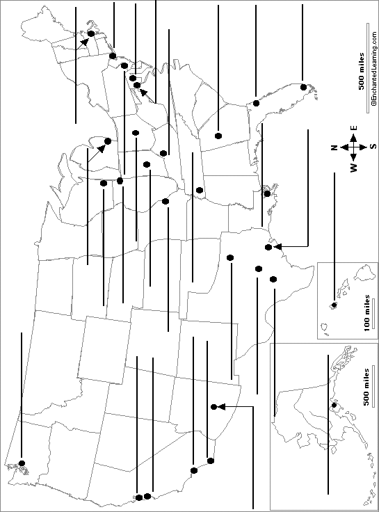
US States and their Capitals Printout.

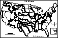
Southern States Map/Quiz Printout.
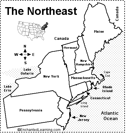
Northeastern States Map/Quiz Printout.
| Page 1 of 12 | Next Page |