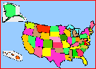
States
Add Filters
Add Filters
Subjects
States
Alabama
(13)
Alaska
(19)
Arizona
(15)
Arkansas
(17)
California
(23)
Colorado
(11)
Connecticut
(10)
Delaware
(17)
Florida
(10)
Georgia
(16)
Hawaii
(18)
Idaho
(20)
Illinois
(13)
Indiana
(9)
Iowa
(12)
Kansas
(15)
Kentucky
(12)
Louisiana
(13)
Maine
(14)
Maryland
(12)
Massachusetts
(10)
Michigan
(14)
Minnesota
(10)
Mississippi
(18)
Missouri
(10)
Montana
(9)
Nebraska
(12)
Nevada
(15)
New Hampshire
(9)
New Jersey
(10)
New Mexico
(9)
New York
(15)
North Carolina
(9)
North Dakota
(9)
Ohio
(10)
Oklahoma
(12)
Oregon
(12)
Pennsylvania
(10)
Rhode Island
(10)
South Carolina
(9)
South Dakota
(10)
Tennessee
(15)
Utah
(14)
Vermont
(12)
Virginia
(22)
Washington
(50)
West Virginia
(9)
Wisconsin
(10)
Wyoming
(14)
Page Types
Activities & Fun
(304)
Crafts
(28)
Printouts
(662)
Quizzes
(261)
Teacher Resources
(25)
Worksheets
(158)
Grade Levels
Work in Progress - Not all pages are categorized yet
Preschool
(0)
Kindergarten
(4)
1st Grade
(57)
2nd Grade
(163)
3rd Grade
(342)
4th Grade
(485)
5th Grade
(260)
6th Grade
(51)
7th Grade and Up
(10)
US States and their Capitals Printout.
A list of the US States and their area in square miles, in ranked order. See which states are the largest and which are the...
Label Northeastern US State Capitals Printout.

Southern States Map/Quiz Printout.
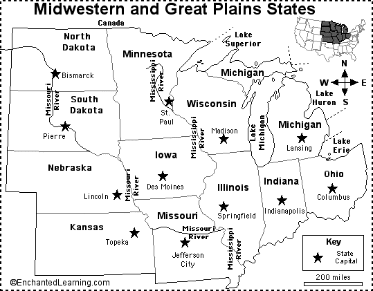
Midwest and Great Plains States Map/Quiz Printout.
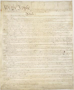
The US Constitution. The Constitution of the United States is a document that outlines the basis of the federal (national)...
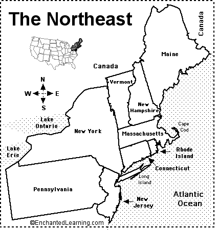
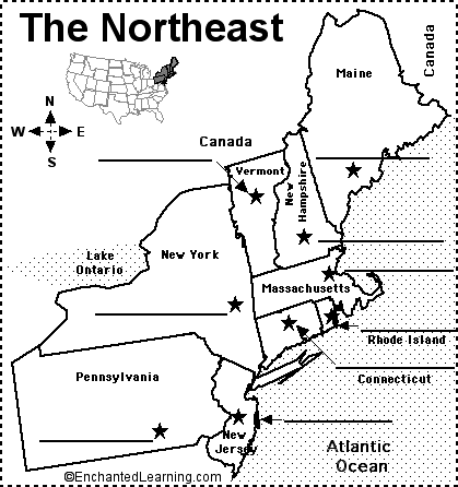
Northeastern States Map/Quiz Printout.
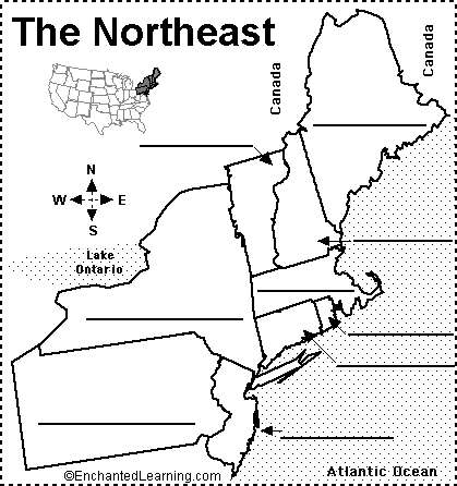
Label Northeastern US States Printout.
An outline map of the contiguous USA with rivers marked - state boundaries also marked (printable).
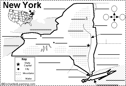
Label New York State Map Printout.
| Previous Page | Page 3 of 131 | Next Page |