North America & Printouts & 4th Grade
Add Filters
Add Filters
Page Types
Printouts
Awards
(0)
Bookmarks
(1)
Books
(88)
Gift Tags
(0)
Graphic Organizers
(101)
Name Tags
(2)
Word Wheels
(4)
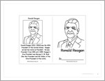
This is a short, printable activity book about Ronald Reagan, the 40th President of the USA, for fluent readers.
★
Full access for members only.

USA (Contiguous) Latitude and Longitude Activity: Printout #1.
This is a short, printable book on the history and continuing importance of the US Constitution.
★
Full access for members only.
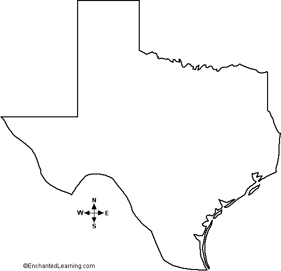
Outline Map of Texas, USA: A collection of geography pages, printouts, and activities for students.
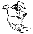
Political Outline Map North America (with country lines): A collection of geography pages, printouts, and activities for students.
★
Full access for members only.
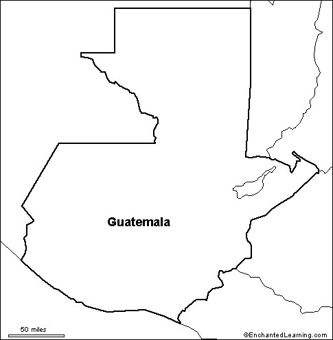
Outline Map Guatemala: A collection of geography pages, printouts, and activities for students.
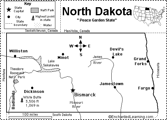
North Dakota State Map/Quiz Printout.

USA Latitude and Longitude Activity: Printout #2.

Write an acrostic poem about George Washington on this printable worksheet. Start each line with a letter from the word WASHINGTON.
★
Full access for members only.
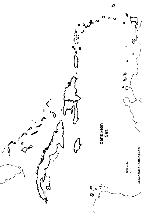
Outline Map of the Caribbean: A collection of geography pages, printouts, and activities for students.
| Previous Page | Page 2 of 61 | Next Page |