Map of Greece
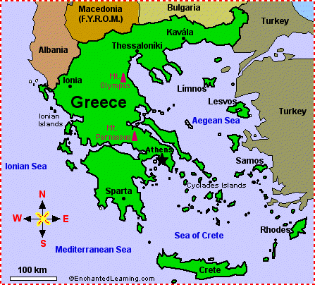
| Location | Greece (formally known as the Hellenic Republic) is a large country in southeastern Europe on the Mediterranean Sea. Greece is bordered by Albania, Macedonia (The Former Yugoslav Republic of Macedonia), Bulgaria, and Turkey. |
|---|---|
| Capital | Athens is the capital of Greece. |
| Size | |
| Population | The population of Greece is about 10,706,290 (as of July, 2007). Greece is divided into 51 prefectures. |
| Official Language | Greek |
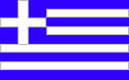
| Flag |
|
| Climate | Greece is generally temperate. |
| Highest Point | The highest point in Greece is Mount Olympus (2,917 meters high). |
| Lowest Point | The lowest point in Greece is the Mediterranean Sea (at sea level). |
| Natural Resources | Greece is rich in natural resources, including fertile farmlands, minerals, and seaports. |
| Independence | Greece gained independence from the Ottoman Empire in 1829. Greek National Independence Day is celebrated on March 25 each year. |

Related Pages
Follow the instructions in this printout about Greece and mapreading for young readers.
The flag of Greece is blue and white and was officially adopted on December 22, 1978.
Quiz Printout - The flag of Greece is blue and white and was officially adopted on December 22, 1978.

Greece Flag Coloring Printout - The flag of Greece is a blue and golden yellow horizontal bicolor that was officially adopted in 1992.
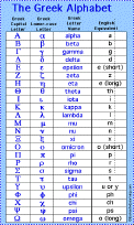
See the 24-character Greek alphabet and read about its long history.
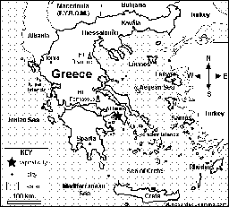
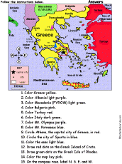
Map of Greece Coloring Activity Printout. Greece is a large country in Europe on the Mediterranean Sea. Its capital is Athens.
Map of Greece Quiz/Coloring Printout. Greece is a large country in Europe on the Mediterranean Sea. Its capital is Athens.
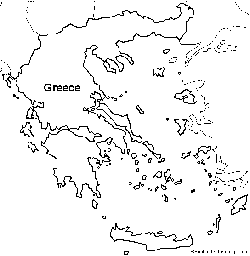
Outline Map of Greece. A collection of geography pages, printouts, and activities for students.
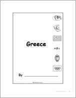
This is a short, printable book about Greece for fluent readers.
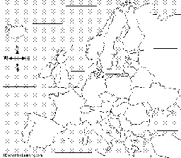
Label Europe Map Printout.
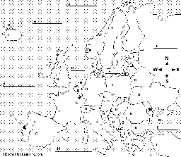
Label Europe Map Printout with letter hints.
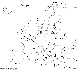
Outline Map Europe: A collection of geography pages, printouts, and activities for students.
This is a printable short book about the Olympic games for fluent readers.