
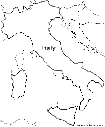
Learn all about Italy with this map and information!
- Location
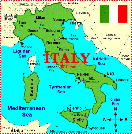
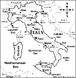
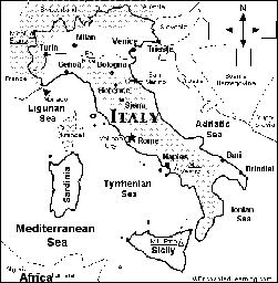
- Italy is a country in southern Europe. It is a boot-shaped peninsula that extends into the Mediterranean Sea. Italy is bordered by France, Switzerland, Austria, and Slovenia.
- Capital
- Rome is the capital of Italy.
- Size
- Italy covers 116,306 square miles (301,230 sq km), including the islands of Sicily and Sardinia.
- Population
- The population of Italy is about 57,634,300 (as of July 2000).
- Flag
- Italy’s flag is made of three equal-sized rectangles of red, white and green. The green is by the flagpole.
- Other Countries Located Within Italy
- San Marino is located within Italy near the eastern coast. The independent Vatican City (Holy See) is located within Rome.
- Climate
- Italy mostly has a mild, Mediterranean climate. The far north is cold and mountainous; the south is rugged, hot and dry.
- Major Rivers
- The major rivers in Italy are: the Po River (which flows from the Alps near the French border, through Turin, and eastward into the Adriatic Sea), the Arno River (which flows from the north-central Apennines, through Florence, and into the Tyrrhenian Sea), and the Tiber River (which flows from the north-central Apennines, south through Rome, and into the Tyrrhenian Sea).
- Mountain Ranges
- The Alps are a mountain range located along the north of Italy. The Apennines are another mountain range that runs through the center of Italy.
- Highest Point
- The highest point in Italy is Mont Blanc, in the Alps on the border of Italy and France. Mont Blanc (Monte Bianco) is 15,770 feet (4,807 m) tall.
- Lowest Point
- The lowest points in Italy are at sea level (the level of the Mediterranean Sea).
Related Pages
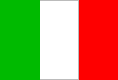
The flag of Italy is a green, white, and red vertical tricolor that was officially adopted on June 18, 1946.
Italy Map/Quiz Printout.
Italy Map Activity Printout.
Outline Map Italy: A collection of geography pages, printouts, and activities for students.
In this printable worksheet, label the map of Italy using the word bank.
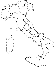
Outline Map: Regions of Italy. A collection of geography pages, printouts, and activities for students.

Label Italy’s regions on the map using the word bank in this printable worksheet.
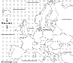
Label Europe Map Printout.
Art Coloring Pages: Italian Artists - Printouts and Online Coloring Pages.
A sampling of inventors and their inventions from Italy
Italian Language Activities
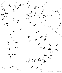
Dot to Dot Mystery Map. Connect the dots to draw the borders of a mystery country. Then use a globe or atlas to figure out which country you have drawn. Answer: This is a map of Italy.
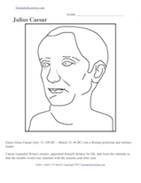
Julius Caesar (100 BC-44 BC) was a Roman politician, military leader, and dictator.
Little Explorers - An English - Italian picture-dictionary for children, with links to educational activities and games. Even preschoolers can surf carefully chosen kids’ sites on the web. The format is an easy to use, illustrated word book. The pictures and words are links to educational activities, games, and nursery rhymes.