Advertisement.
EnchantedLearning.com is a user-supported site.
As a bonus, site members have access to a banner-ad-free version of the site, with print-friendly pages.
Click here to learn more.
(Already a member? Click here.)
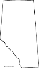
Outline Map of Alberta, Canada
Print out an outline of Alberta, Canada. Use as a coloring printout: add the provincial capital and other cities, bodies of water, mountains, and bordering locations. |
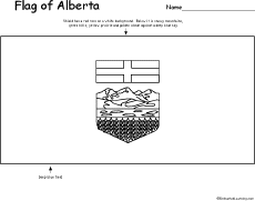
Flag of Alberta, Canada
Print out and color the flag of Alberta, Canada. |
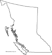
Outline Map of British Columbia, Canada
Print out an outline of British Columbia, Canada. Use as a coloring printout: add the capital and other cities, bodies of water, mountains, and bordering locations. |
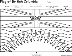
Flag of British Columbia, Canada
Print out and color the flag of British Columbia, Canada. |
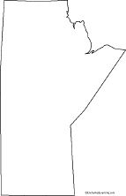
Outline Map of Manitoba, Canada
Print out an outline of Manitoba, Canada. Use as a coloring printout: add the provincial capital and other cities, bodies of water, mountains, and bordering locations. |
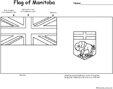
Flag of Manitoba, Canada
Print out and color the flag of Manitoba, Canada. |
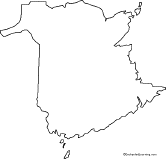
Outline Map of New Brunswick, Canada
Print out an outline of New Brunswick, Canada. Use as a coloring printout: add the provincial capital and other cities, bodies of water, mountains, and bordering locations. |
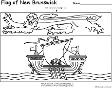
Flag of New Brunswick, Canada
Print out and color the flag of New Brunswick, Canada. |
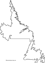
Outline Map of Newfoundland and Labrador, Canada
Print out an outline of Newfoundland and Labrador, Canada. Use as a coloring printout: add the provincial capital and other cities, bodies of water, mountains, and bordering locations. |
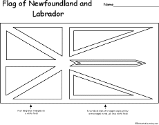
Flag of Newfoundland and Labrador, Canada
Print out and color the flag of Newfoundland and Labrador, Canada. |
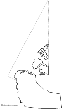
Outline Map of Northwest Territories, Canada
Print out an outline of Northwest Territories, Canada. Use as a coloring printout: add the capital and other cities, bodies of water, mountains, and bordering locations. |
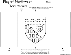
Flag of Northwest Territories, Canada
Print out and color the flag of Northwest Territories, Canada. |
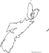
Outline Map of Nova Scotia, Canada
Print out an outline of Nova Scotia, Canada. Use as a coloring printout: add the capital and other cities, bodies of water, mountains, and bordering locations. |
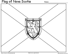
Flag of Nova Scotia, Canada
Print out and color the flag of Nova Scotia, Canada. |
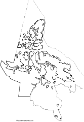
Outline Map of Nunavut, Canada
Print out an outline of Nunavut, Canada. Use as a coloring printout: add the capital and other cities, bodies of water, mountains, and bordering locations. |
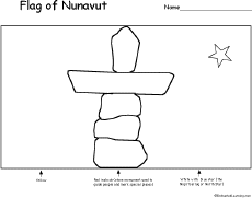
Flag of Nunavut, Canada
Print out and color the flag of Nunavut, Canada. |
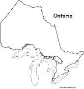
Outline Map of Ontario, Canada
Print out an outline of Ontario, Canada. Use as a coloring printout: add the provincial capital and other cities, bodies of water, mountains, and bordering locations. |
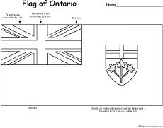
Flag of Ontario, Canada
Print out and color the flag of Ontario, Canada. |
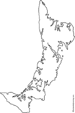
Outline Map of Prince Edward Island, Canada
Print out an outline of Prince Edward Island, Canada. Use as a coloring printout: add the provincial capital and other cities, bodies of water, mountains, and bordering locations. |
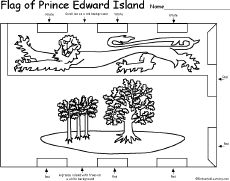
Flag of Prince Edward Island, Canada
Print out and color the flag of Prince Edward Island, Canada. |
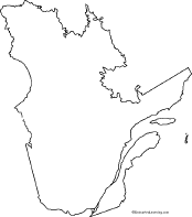
Outline Map of Quebec, Canada
Print out an outline of Quebec, Canada. Use as a coloring printout: add the provincial capital and other cities, bodies of water, mountains, and bordering locations. |
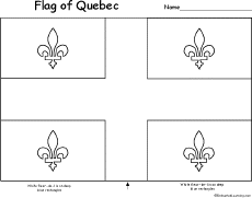
Flag of Quebec, Canada
Print out and color the flag of Quebec, Canada. |
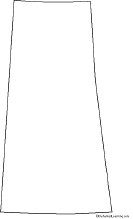
Outline Map of Saskatchewan, Canada
Print out an outline of Saskatchewan, Canada. Use as a coloring printout: add the provincial capital and other cities, bodies of water, mountains, and bordering locations. |
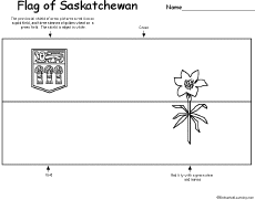
Flag of Saskatchewan, Canada
Print out and color the flag of Saskatchewan, Canada. |
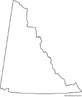
Outline Map of Yukon Territory, Canada
Print out an outline of Yukon Territory, Canada. Use as a coloring printout: add the capital and other cities, bodies of water, mountains, and bordering locations. |
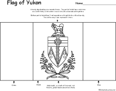
Flag of Yukon, Canada
Print out and color the flag of Yukon, Canada. |
Related Pages:

Flag of Canada
A page on the Canadian flag plus a quiz and coloring printout. |
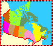
Flags of Canadian Provinces
(North America)
A page on the flags of the Canadian provinces. |
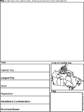
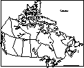
Canadian Province/Territory Report Graphic Organizer Printout #1
This printout helps the student do a short report on a Canadian Province/Territory, prompting the student to draw a map of the province, locate it on a world map, draw the province's flag, and write its capital city, largest city, area, population, date of admittance to confederation, and provincial flower. |
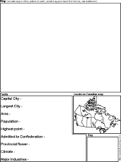
Canadian Province/Territory Report Graphic Organizer Printout #2
This printout helps the student do a short report on a Canadian Province/Territory, prompting the student to draw a map of the province, locate it on a world map, draw the province's flag, and write its capital city, largest city, area, population, highest point, date of admittance to confederation, provincial flower, climate, and major industries. |
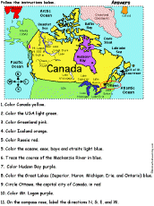
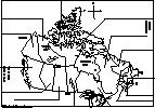
Canada: Follow the Instructions
Color the Canada according to simple directions, such as, "Color Hudson Bay purple." Or go to the answers. |
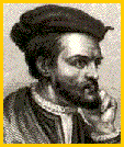
Explorers of Canada
Read about the people who explored Canada, including Jacques Cartier, Samuel de Champlain, Pierre François-Xavier de Charlevoix, Robert La Salle, Simon Fraser, Louis Joliet, Pierre de La Vérendrye, Alexander Mackenzie, and others. |

Canadian Crafts
Make Canadian crafts for Canada Day (on July 1st) or any day. |
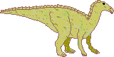
Canadian Fossils
Dinosaurs and other fossils found in Canada. |
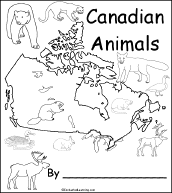
Canadian Animals
Printable Book for Early Readers
A short, printable book about Canadian animal early readers. The book has pages on the moose, cougar, loon, Canada goose, muskrat, Arctic Fox, Arctic hare, caribou, polar bear, and beaver. |
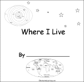
Where I Live (Canada and USA)
A short activity book on geography to print for early readers. There are pages on the Solar System, the continents, North America, and Canada or the USA. |
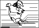
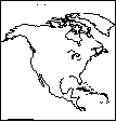
North America: Label Me! Printout
Label the countries of North America.
Answers |
Enchanted Learning®
Over 35,000 Web Pages
Sample Pages for Prospective Subscribers, or click below
Click to read our Privacy Policy
Enchanted Learning Search
|
Search the Enchanted Learning website for:
|
Advertisement.
Advertisement.
Copyright ©2004-2018
EnchantedLearning.com ------ How to cite a web page